Sedimentalogist, National Research Centre, Dokki, Egypt
Haj Sidein and Dr. Amr El Gohary guide us, 2005. Desert gully, Wadi Abu Sufian, is rich in geologic history and hydrologic activity in the Hierakonpolis region.
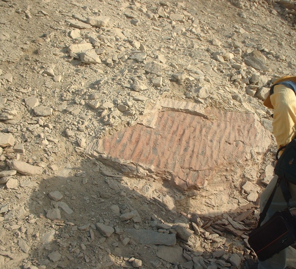
Ripple marks in the sandstone reveal ancient waves in sand of a sea bed, long before human activity in the Wadi Abu Sufian. Debris, erosion and many changes obscure or reveal geological sequences. With climate change will the wadi streams flow or be erased by erosion when all is too hot and dry?
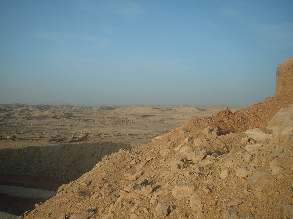
This view is from the higher desert prepared for new farmland above the Wadi Abu Sufian (2005). Another extension includes new farms in 2015 that occupy the ‘head area’ (beginning flow area) of this wadi. Wadi Abu Sufian is the natural drainage towards Nile farmland and Temple-Town Hierakonpolis. Regional and local changes with rising groundwater involve developments here.

The Men hand auger monitoring wells as Drs. Richard Parizek and Amr El Gohary study the soils to determine subsurface conditions in long wet surface in desert, Wadi Abu Sufian 2011.
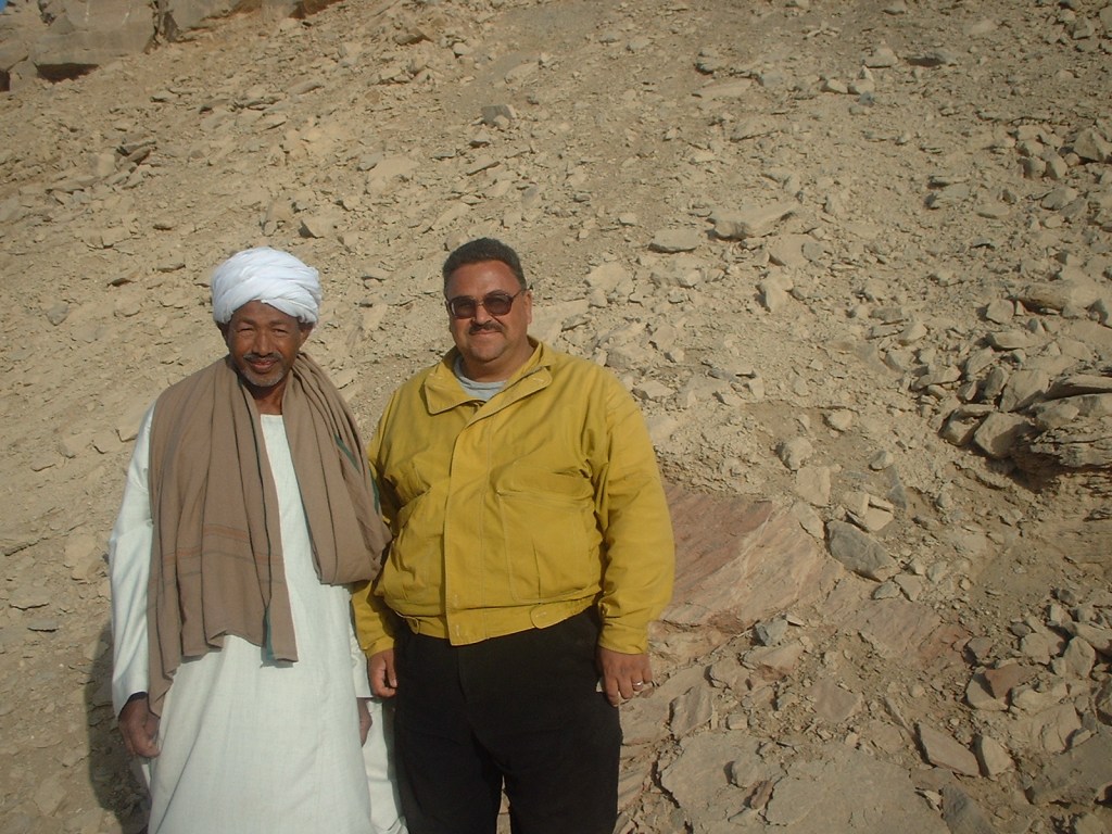
Dr. Amr El Gohary is important to so many endeavors, hydrogeological and archaeological at the Temple-Town Hierakonpolis site and region as well as his expertise as sedimentalogist. The sediments in the deep wells at Temple-Town Hierakonpolis such as DH8 (2003 data shown below) were analyzed and charted by Dr. El Gohary. The cores from each well studied by Dr. El Gohary are part of the important subsurface, geological and hydrogeological conditions at the site and region, vital to designing an effective system to lower ground water harming the living site, residents’ property and ancient Temple-Town site.
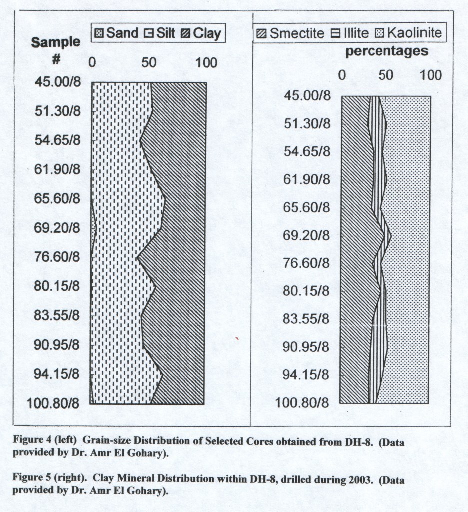
Temple-Town Hierakonpolis data from deep wells, 2003, analyzed by Dr. Amr El Gohary.

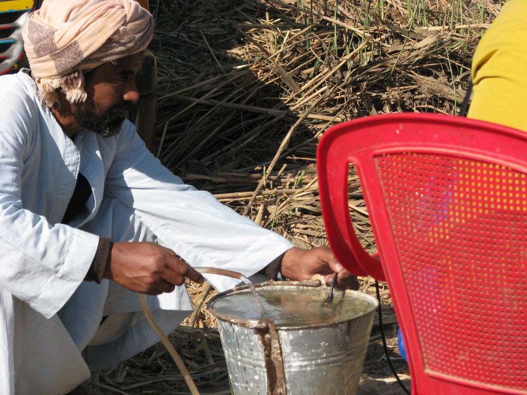
Ahmed works with Amr and Hafaz (below) to provide measurements for hydrogeological projects, 2010.